Transport meets GIS and Analytics.
We enrich transport planning with GIS and Analytics for projects on passenger & freight modelling.
We enrich transport planning with GIS and Analytics for projects on passenger & freight modelling.
We provide consulting services in microsimulations, signal timings and LOS calculations for urban transport infrastructure with commercial software. We use VISSIM; TransCAD, CUBE; HCS, SIDRA, SYNCHRO
We use GIS as the core of our business, almost all our solutions involve use of GIS and mapping. We provide simulations for policy analysis in a GIS enviroment.
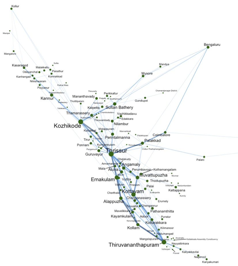
We use GIS and various online mapping and routing services to provide several PT metrics for planning
We provide custom solutions, dashboarding, online reporting using R, Python, Shiny, Power BI

We have a long standing association with GAMA and we proudly advertise this product.
GAMA is a modeling and simulation development environment for building spatially explicit agent-based simulations. Multiple application domains : Use GAMA for whatever application domain you want. High-level and Intuitive Agent-based language : Write your models easily using GAML, a high-level and intuitive agent-based language. GIS and Data-Driven models : Instantiate agents from any dataset, including GIS data, and execute large-scale simulations (up to millions of agents). Declarative user interface : Declare interfaces supporting deep inspections on agents, user-controlled action panels, multi-layer 2D/3D displays & agent aspects.